Al Gallo forcello
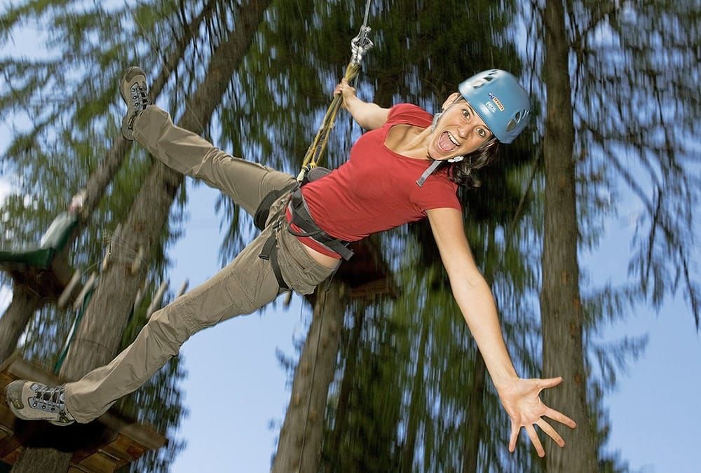
Rock labyrinth and Flying Fox Mile
Fixed rope routes of all levels, high-rope elements as rope bridge, ropeways and nets, caves and gorges. Flying high above the ground as Tarzan from tree top to tree top. Adapted for kids from 8 years and more.
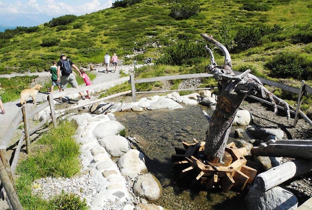
Aqua Trail
- length: 1500 m
- A nature trail in the mountains with fun water games suitable for all ages (accessible for pushchairs).
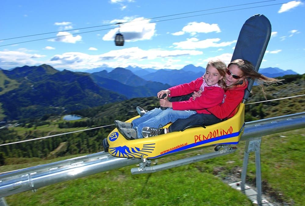
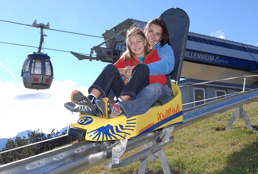
Pendolino
- Length: 2.000 m
- Slope: 17 %
- Height difference: 329 m
- Starting point: stazione Madritsche (2.000 m)
- Arrival point: alla malga di Tressdorf (1.580 m)
Nassfeld Day Card
- cable car Millenium-Express, chairlift Gartnerkofel, chairlift Madritschen
- free mountain taxi "Piccolo Express"
- 1 ride on the mountaincoaster "Pendolino"
- Aqua-trail "Acqua e monti"
- Ferrata "Däumling"
- Via Dolce Vita
- Outdoor adventure trail for kids "Almrausch"
- Roof terrace with "Sky Plate"
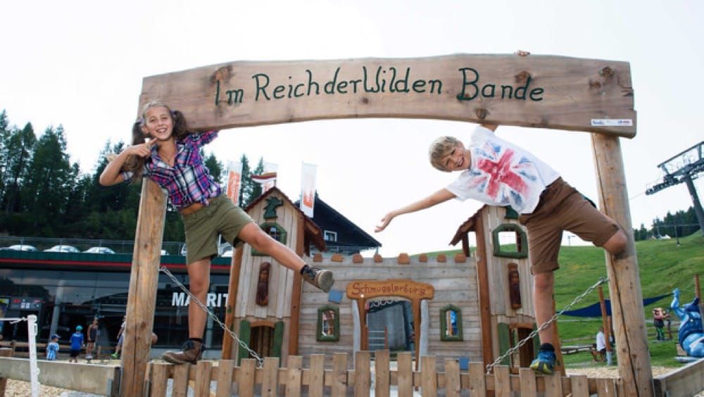
- Adventure trail "Pramollo Wilde Bande with Fix & Foxi"

Playground in the beautiful swimming lake Pressegger-See
foto: www.erlebnispark.cc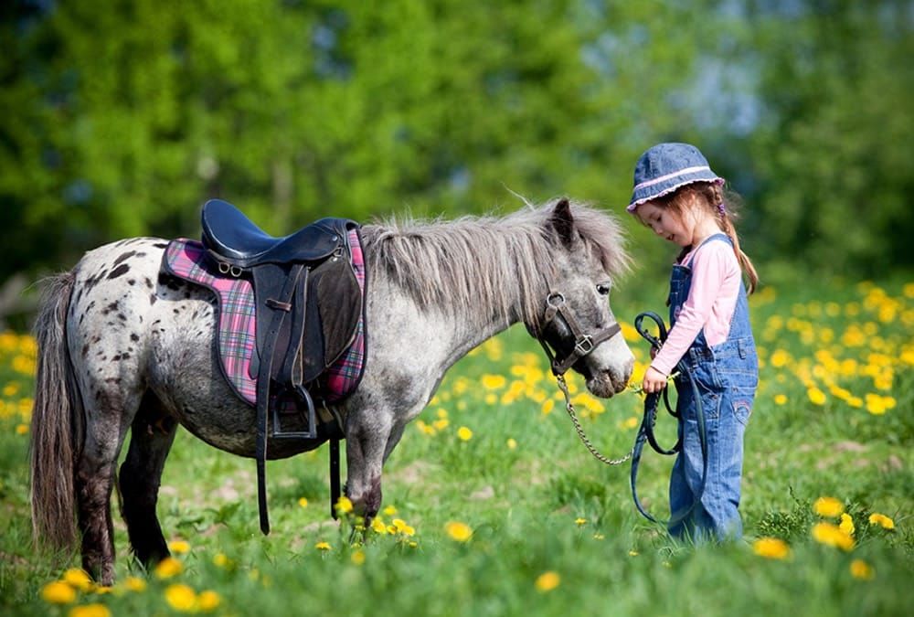
Riding stables "Reitstall Schneider in Dellach-St. Daniel (Gailtal)"
30 km from our hotel is one of the most famous riding stables of the three borders.
Contact: Martina Gratzer, Mobil: +43 650 2610793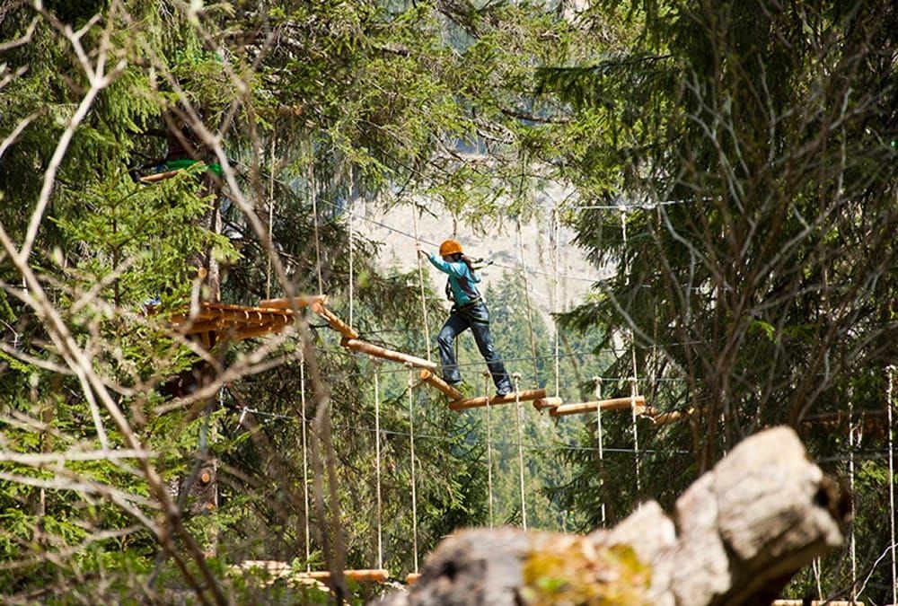
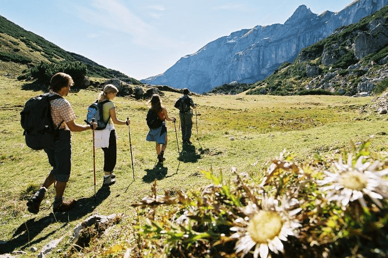
Hiking
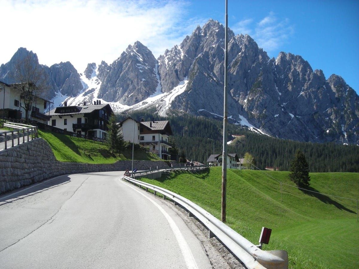
(The summit is to the east of the Plöcken Pass)
A journey by car to the Plöcken house (1.250 m), onward hike to the remains of the hotly contested fortifications from the first world war - well worth seeing.
Route: from the Plöcken house in the southerly direction until the first bend. Take the path (on the slope of the Kleinen Pal) until you reach the fortification "Maschinengewehrnase". Further upwards to the north past numerous bends. Finally over open space terrain and through hollows to the summit.
Walking time approx. 2 ½ hours (not a difficult ascent, but you must be surefooted). The descent is between Kleinen Pal and Freikofel down to the soldiers' cemeteries. Through the Angerbach valley back to the Plöcken house. Total walking time: approx. 4 hours.
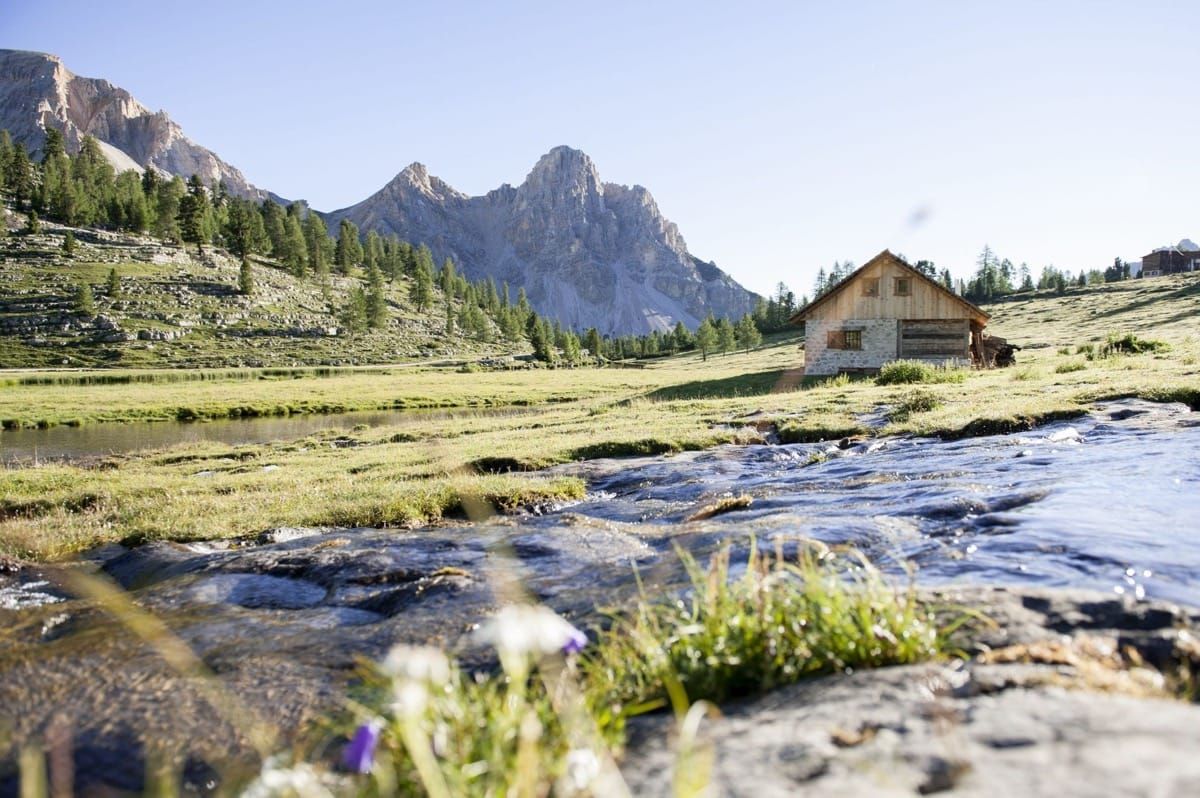
See the four Alpine-pasture hike. 500 million years of earth's history can be reconstructed here while hiking - an El Dorado for fossil collectors (you also have the possibility to travel on the Gartnerkofel cable-car (seating 4-persons) up to the Gartnerkofel.
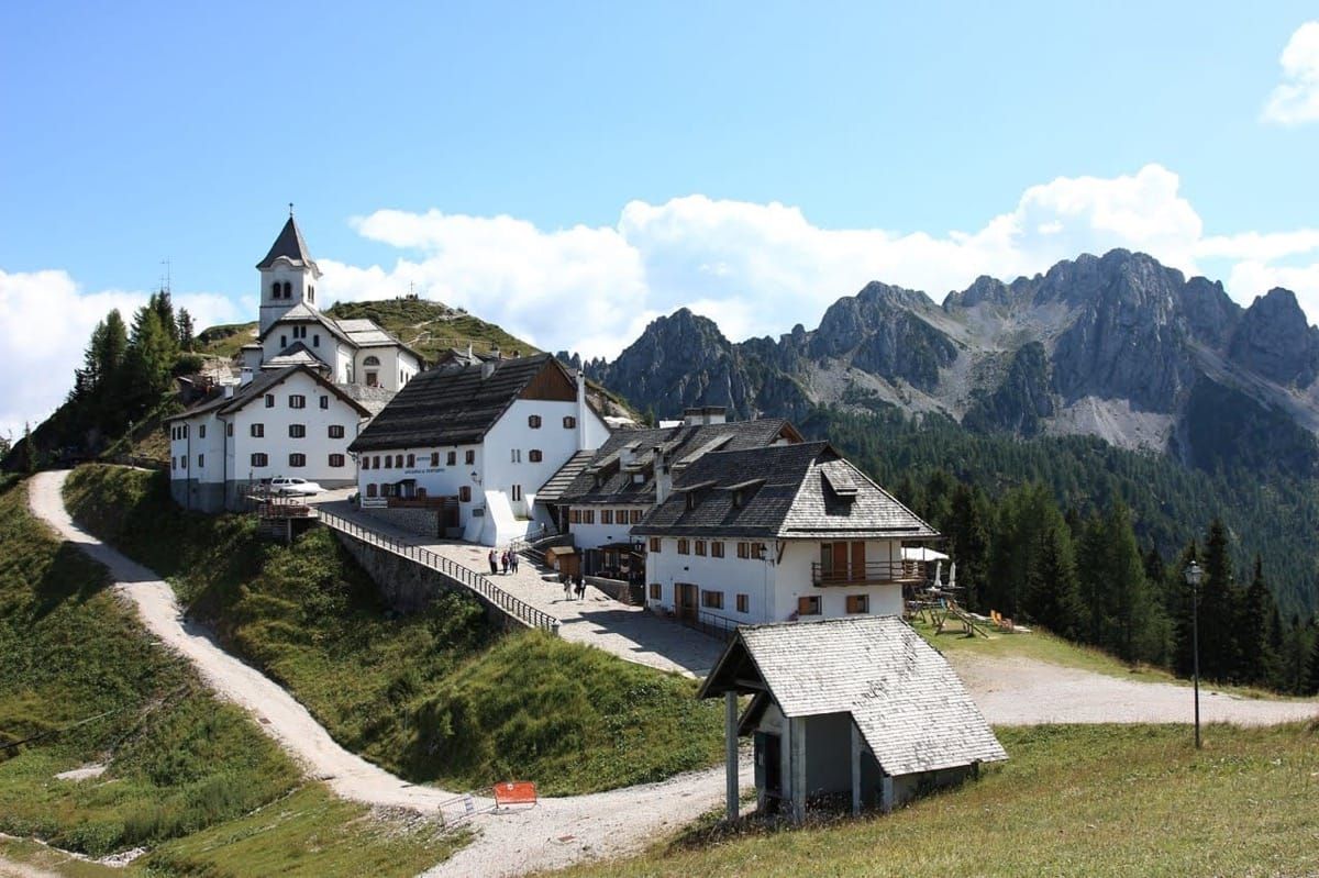
Travel by car via Pontebba to Valbruna.
Toll cable-railway up Mount Lussari (place of pilgrimage), 1.789 m.
Route: Hike to the "Stone Hunter" (Steinernen Jäger).
Walking time: approx. 3 hours.
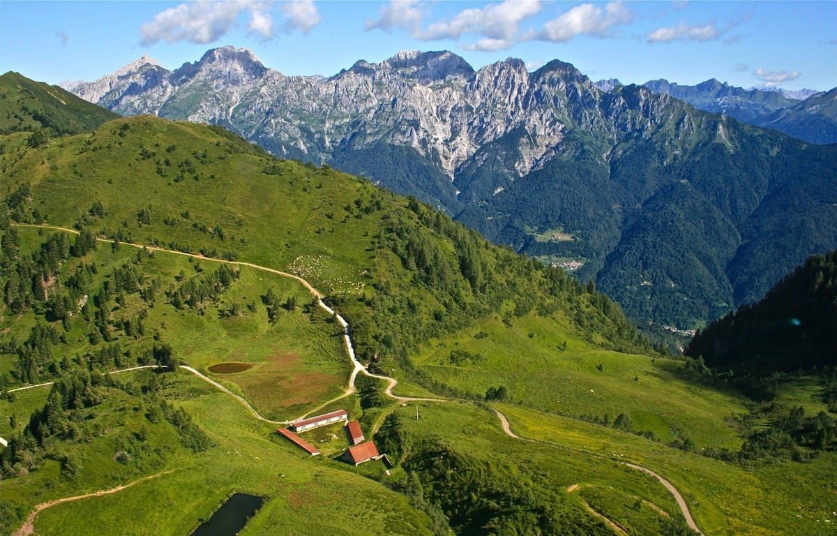
Experience the meeting point of two cultures on a leisurely hike from the Tröpolacher Alpine pasture via the Rattendorfer Alpine pasture to the Lanzen Alpine pasture (Casera Cason di Lanza).
You have the opportunity to visit the Rattendorfer Alpine pasture to see cheese in the making as well as to stop off on the Italian Alpine pasture to try the typical Italian Alpine specialities such as Ricotta cheese.
Walking time: approx. 4 - 5 hours.
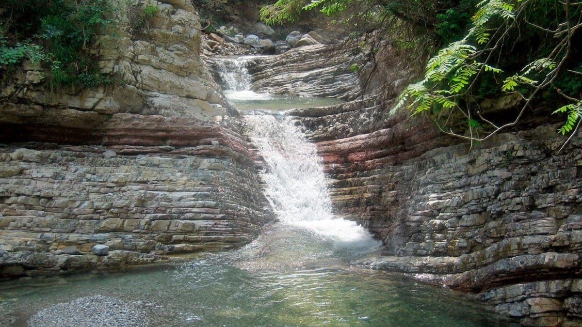
Passing wildly romantic waterfalls, the ascending footpath leads through ravines via exposed precipices up to the Alpine pasture region. 6 km in length, difference in altitude approx. 500 m (end of the gorge: 1.125 m).
Route: Walking time to the end of the gorge: approx. 2 ½ hours. You must be surefooted and not suffer from vertigo! Continue via the Kühweger Alpine pasture to Nassfeld.
Walking time: approx. 2 ½ - 3 hours.
Total walking time: approx. 5 ½ - 6 hours.
Sturdy footware and poor weather equipment are a prerequisite for this tour!
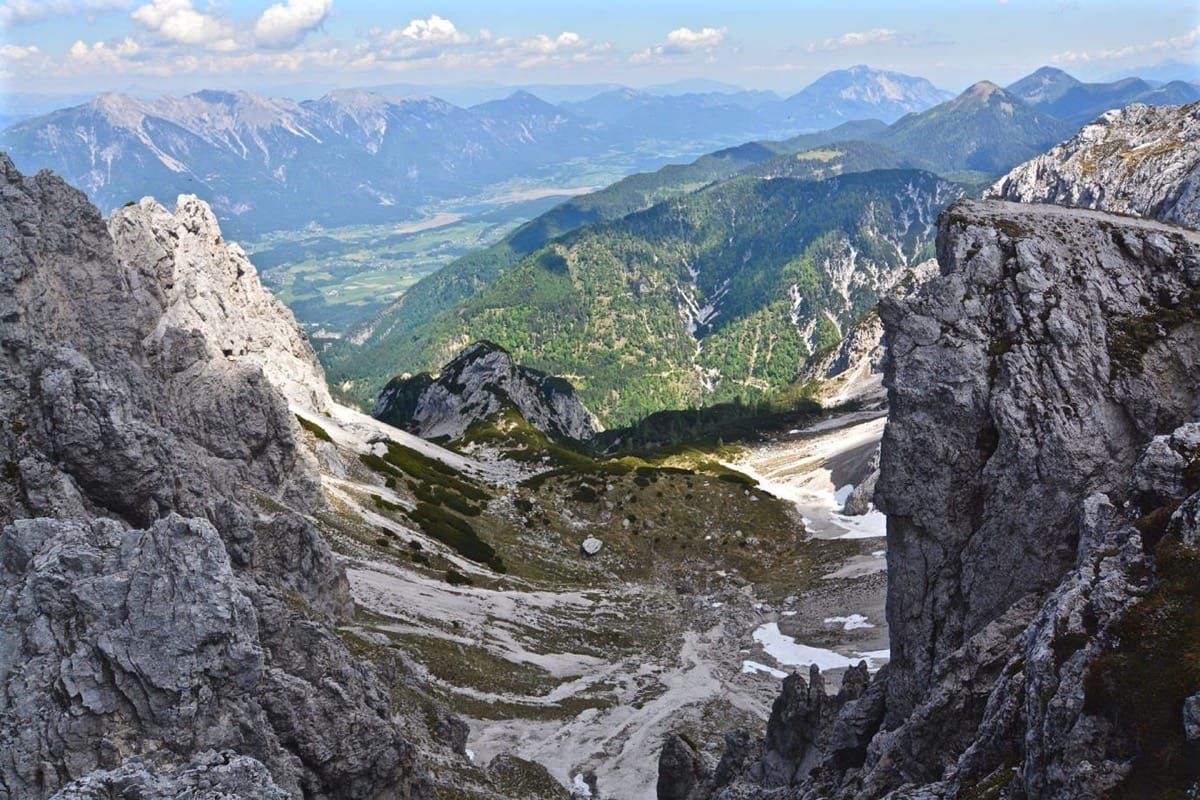
Route: Starting point is the Watschiger Alpine pasture. Alpine mountain path (403) through the Wulfinia region along the FIS-racing route to Gartnerkofel Sturdy footware necessary. Walking time: approx. 1 ½ hours.
For this tour the Gartnerkofel 4-person chair-lift is also available for hikers (altitude : 1.400 to 1.900 m; length: 1.700 m). Walking time from the mountain station on the summit: 1 hour.
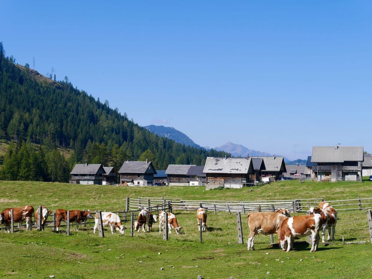
along the Geo-trail, 500 million years of the earth's history can be reconstructed here during the hike, - an El Dorarado for fossil collectors (you also have the opportunity to travel to Gartnerkofel with the Gartnerkofel 4-person chair-lift. Walking time approx. 4 ½ hours.
The route:goes from Nassfeld via the Watschiger Alpine pasture to Garnitzentörl, continue along the marked pathway to the Garnitzen Alpine pasture. From there you follow the signpost in the direction of "Kronalpe " till you come to the State border and continue on the marked path via the Ofen Alpine pasture, the Auernig Alpine pasture and the Auernig Alpine pasture back to Nassfeld.
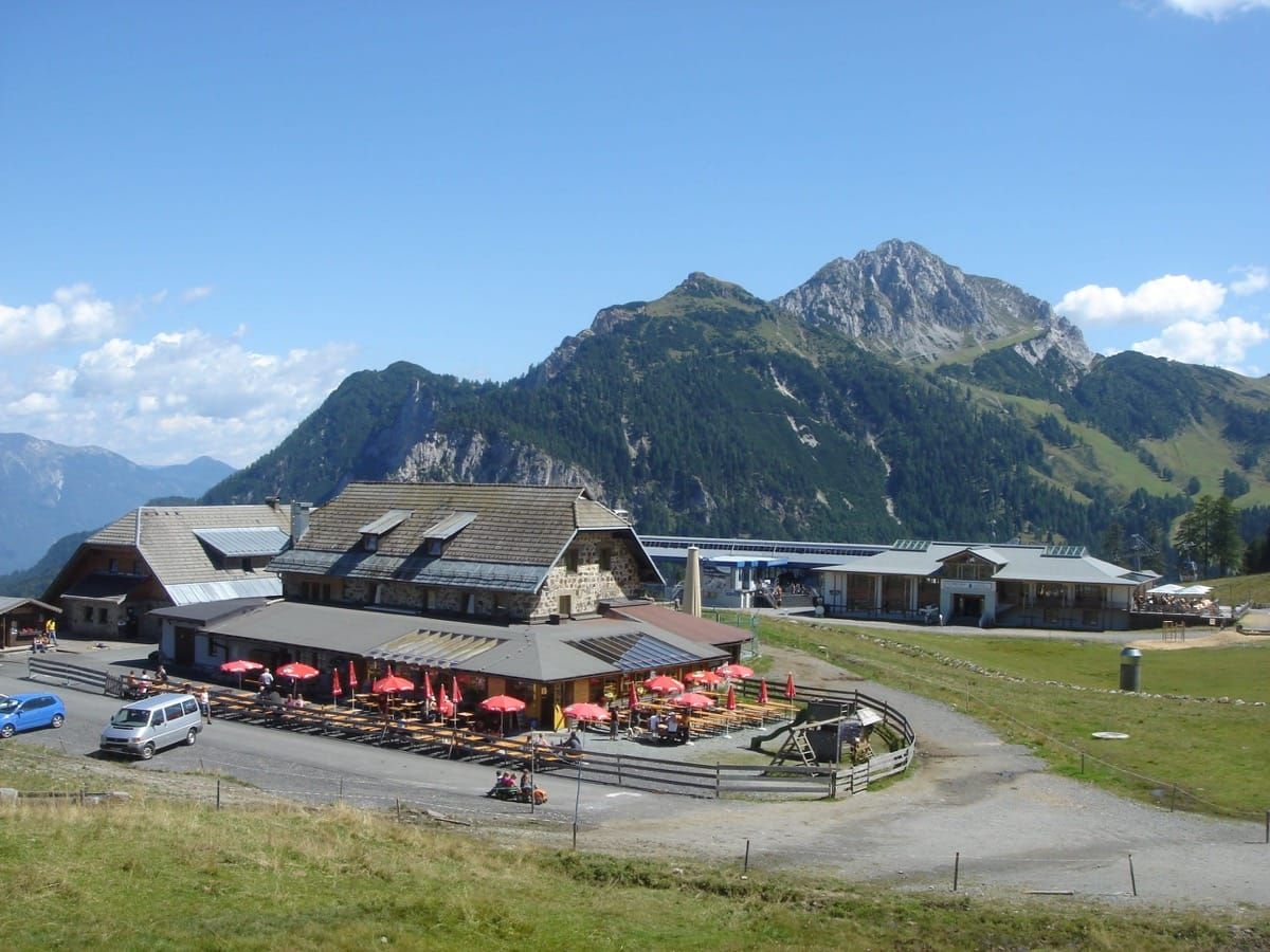
with the possibility of visiting the cheese dairy on the Tressdorfer Alpine pasture. Walking time: approx. 4 ½ hours. Route:.from Nassfeld you pass the "Alpenvereinshaus" in the direction of the Tressdorfer Alpine pasture, continue via Wurzelweg to the Rudnig Alpine pasture and back to the starting point. Walking time: approx. 4 ½ hours.
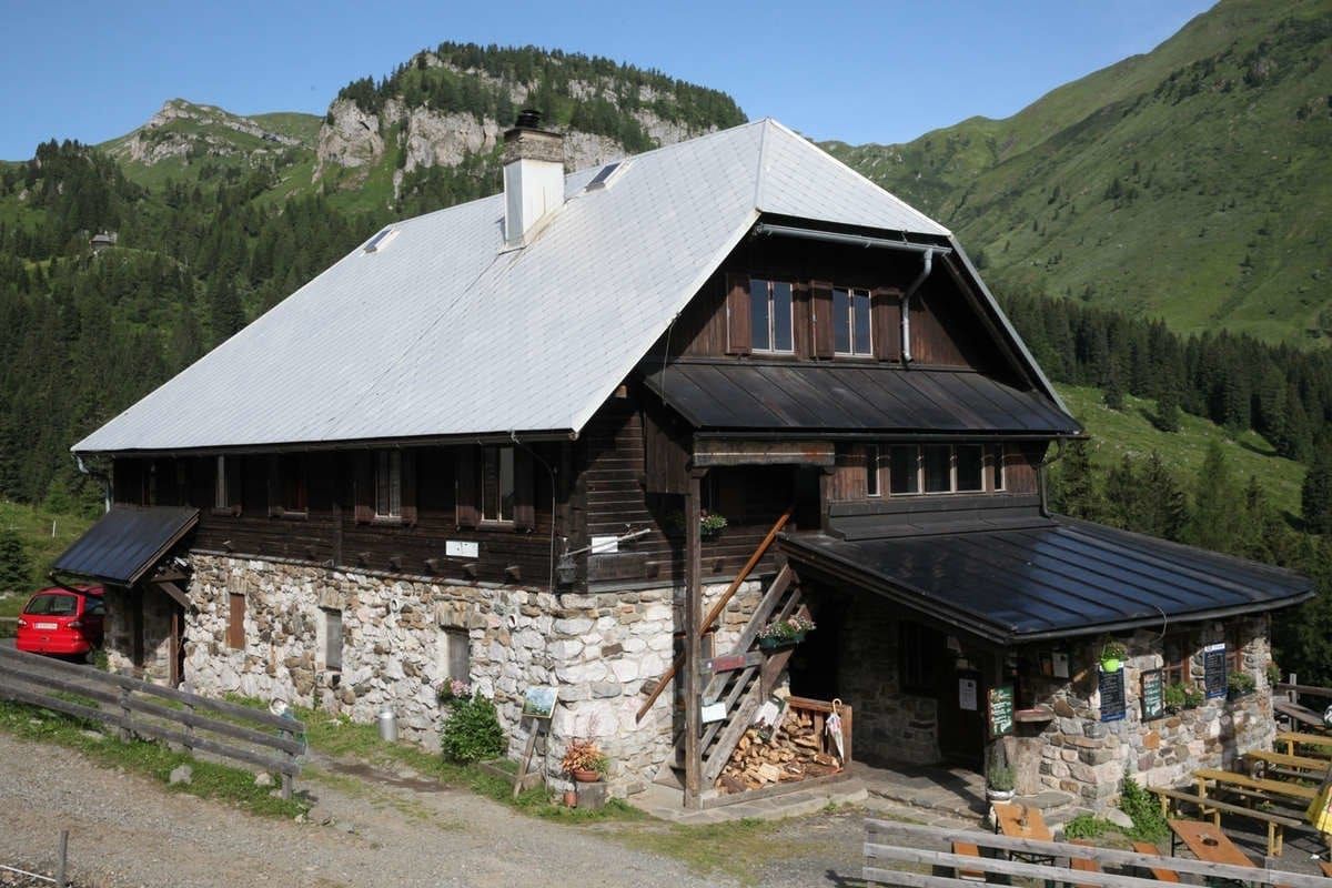
You can drive by car as far as the Tröpolacher Alpine pasture. Route: Hiking path from the Tröpolacher Alpine pasture to the Rattendorfer Alpine pasture. Walking time: approx. ¾ hour.
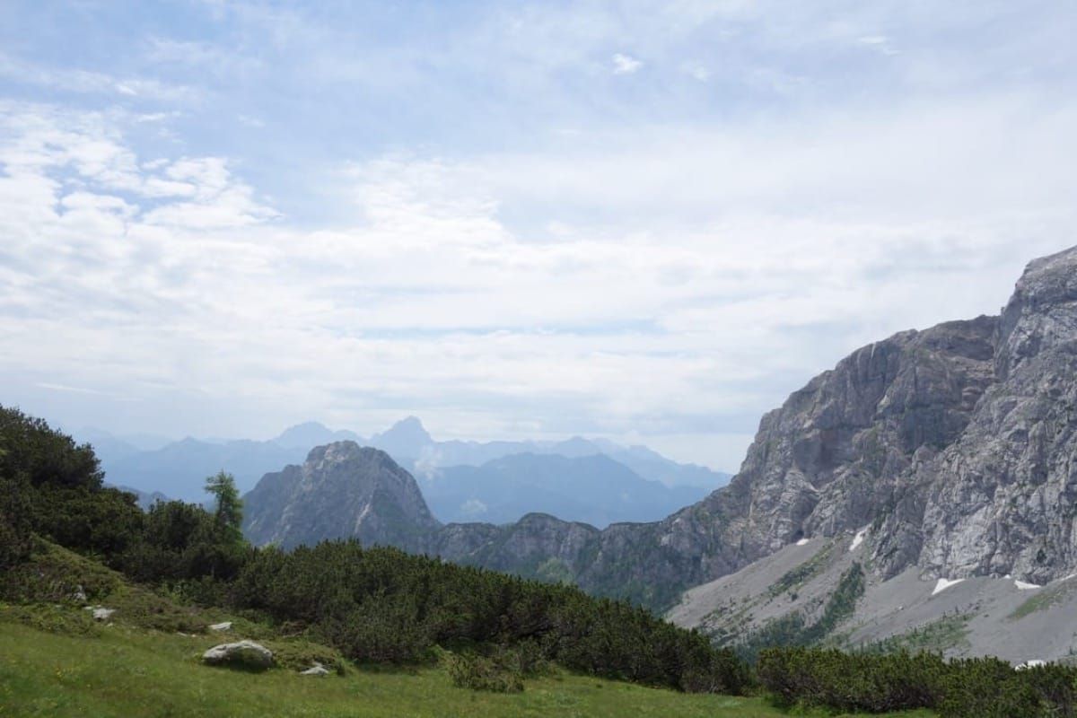
Route: From Nassfeld via the Tressdorfer heights down to the bottom of the valley, then to the left across meadows up to the Rudnig saddle.
Left, under the mountain faces, climbing over debris into the hollow, north of the summit. Upwards via flat ridges to the summit.
Walking time: approx. 3 hours.
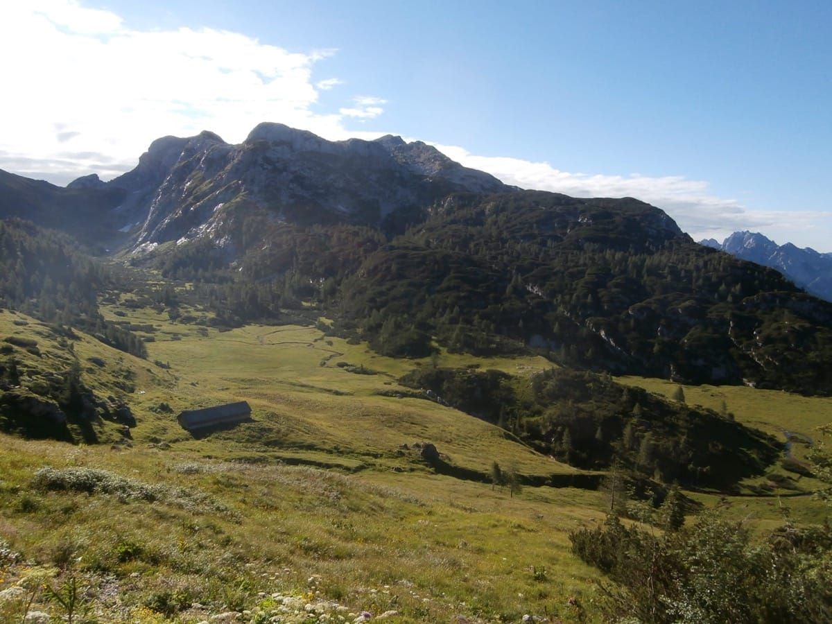
The starting point is the hut Rudnig (Tröpolach reachable by car or by taking the Nassfeld Tressdorfer Höhe walk).
Three trails of varying difficulty:
a) Path Uiberlacher-east wall: climbing, 660 vertical meters.
Journey time: approx. 2 ½ hours from the hut Rudnig.
b) Via ferrata Crete Red: iron, 150 vertical meters and 1 hour of walking to reach the summit.
c) climbing the south wall: the preferred path, but only for experts, 660 vertical meters.
Walking time 2.5 hours.
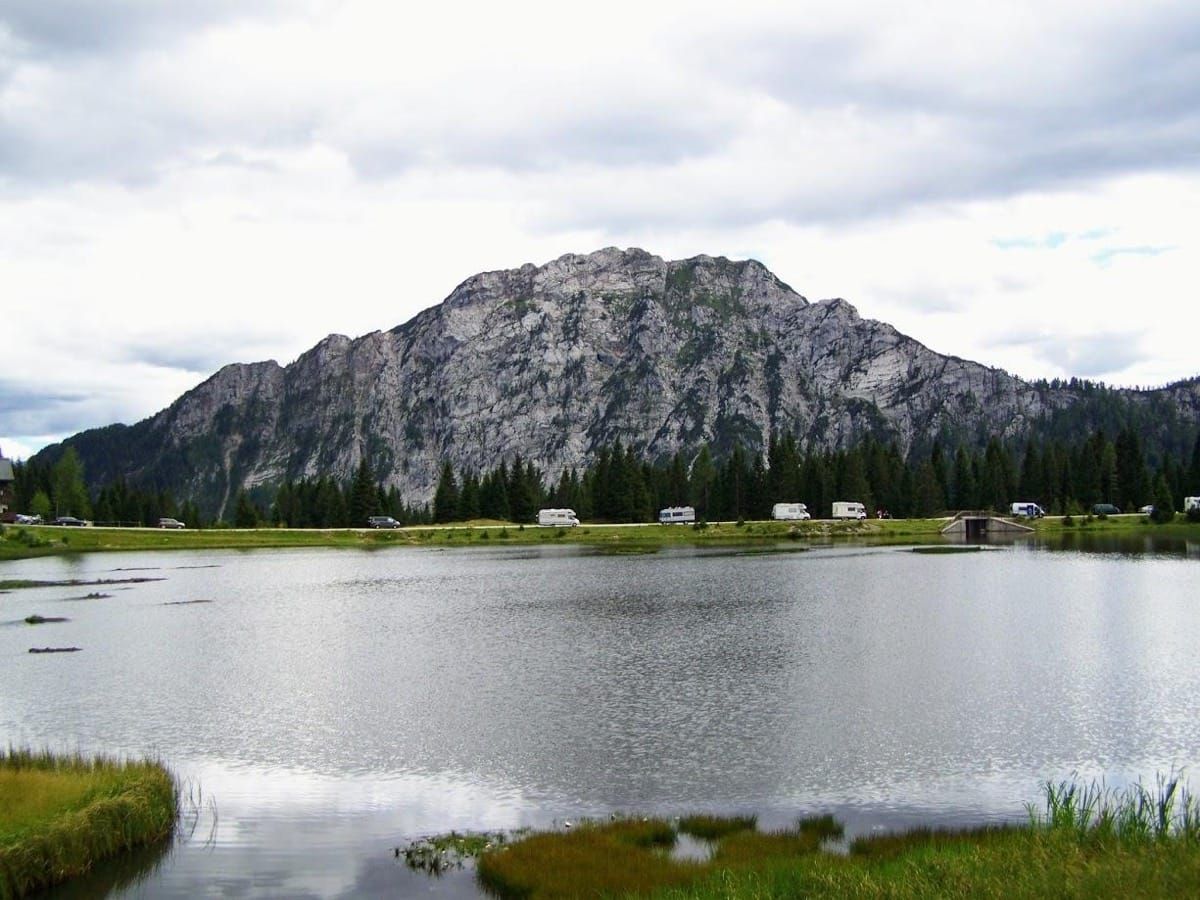
With their cars to travel some 4 km in the direction Pontebba (parking Stammboden). Course: at the junction turn right and follow the route marked in red until you reach the hut Malurch then continue to the summit of Mount Malvueric high. Journey time: about 2 hours.
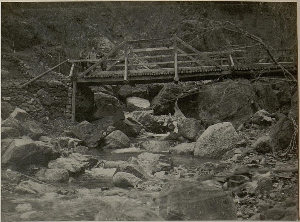
The centenary from the outbreak of First Word War is the occasion to present to visitors and citizens a project that aims at the restoration of artifacts and sites involved in the first part of the international conflict and in the strives between Austro-Hungarian and Italian armies.
Bicycle Trips
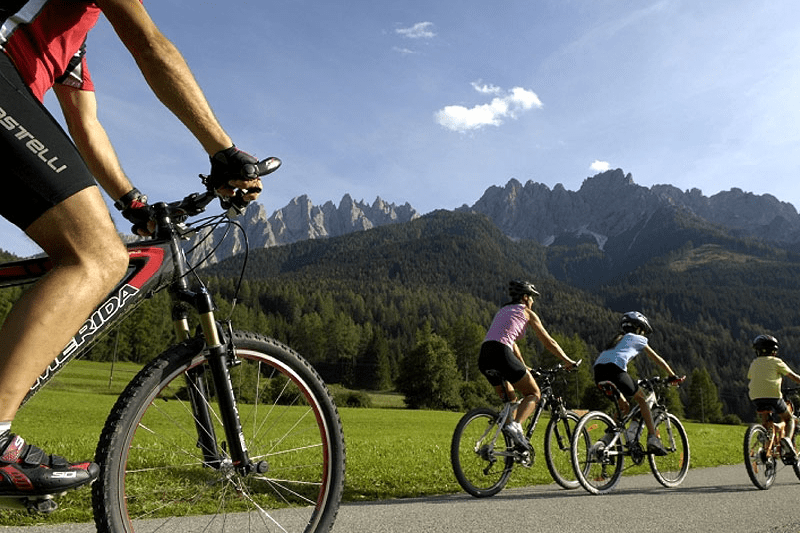
At the start of the Millennium cable car you can rent a variety of equipment for summer sports. Take your bike on the cable car to the top of the mountain and later enjoy the longest run down in the Alps (11.7 km).
Start: Kötschach-Mauthen
Finish:Villach
Length: 90 km
Difference altitude: 206 m
Route: for the best part flat terrain with mostly asphalted paths.
Suitable for all bicycles.
After a fantastic ride through the Carnic Alps, you can return by train from Hermagor or Arnoldstein via Spittal and Lienz to Toblach (Alta Via Carnica) or from Villach direct to Kötschach-Mauthen (Carnic bicycle path).
The Carnic mountain path, primarily for hikers, actually stretches across the crests and summits of the Carnic Alps, and consequently for the best part cannot be used for moving vehicles.
Bikers therefore should rather use the old military roads and paths from the first world war, which mostly run across the main ridge on the Italian side, and are a mixture of rubble roads and forest paths worth experiencing, and which, in addition, almost ideally connect inns, lodges and Alpine pastures with each other.
Single trails passable for moving vehicles, forest paths as well as a large part on old military roads. Not only your technical driving skills are challenged here but you are also tempted to be adventurous and to brave the unknown. You will see completely new landscapes, switch permanently between the Austrian and Italian cultures, and even experience a trace of Slovenia.
Route:Plöckenpass/Passo Monte Croce – Kötschach Mauthen – Dr. Steinwender Hütte – Straniger Alm – Passo di Lanza – Rattendorfer Alm – Sonnleitn – Nassfeldpass/Passo Pramollo – Eggeralm – Lomsattel – Feistritzer Alm – Göriacher Alm – Arnoldstein
To Nassfeld: 60 km
Total route: 125 km
| Tappa | Distanza in Km | dislivello ^ | dislivello v |
|---|---|---|---|
| Rifugio Marinelli - Plöckenpass - Mauthen | 16,58 | 171 | 1372 |
| Mauthen - Steinwender Haus - Straniger Alm | 28,49 | 1455 | 828 |
| Mauthen - Goderschach Radweg | 14,88 | 88 | 379 |
| Mauthen - Weidenburg | 7,66 | 44 | 281 |
| Weidenburg - Zollner Alm - Straniger Alm | 24,3 | 1476 | 614 |
| Weidenburg - Goderschach | 7,66 | 42 | 96 |
| Goderschach - Straniger Alm | 10,16 | 930 | 14 |
| Goderschach - Rattendorf | 10,31 | 94 | 123 |
| Straniger Alm-Cason Lanza-Rattendorfer Alm | 10,61 | 494 | 525 |
| Rattendorf - Rattendorfer Alm | 10,54 | 918 | 4 |
| Rattendorfer Alm - Sonnleitn - Nassfeldpass | 13,66 | 522 | 506 |
| Rattendorf - Hermagor Radweg | 12,77 | 96 | 93 |
| Nassfeldpass - Eggeralm | 14,58 | 542 | 682 |
| Hermagor - Eggeralm | 13,08 | 837 | 50 |
| Eggeralm - Arnoldstein | 47,49 | 1429 | 2241 |
Percorso bello, immerso nella natura e vario: la tappa di Passo Pramollo sopra il "Garnitzensattel" fino alla malga di Egg.
Tour By Motorbike
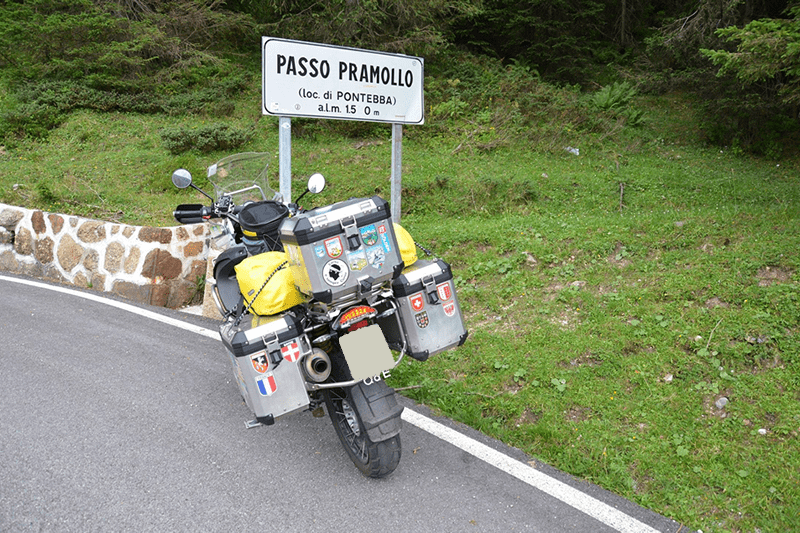
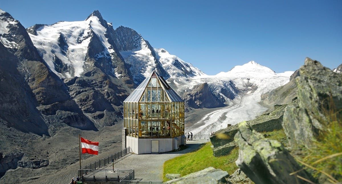
Tröpolach – Kötschach-Mauthen – Gailberg – Oberdrauburg – Iselsberg – Winklern - Heiligenblut – Großglockner.
High Alpine road in the heart of the Hohe Tauern National Park opened in 1935. A breathtaking 20 km long journey up to 2.500 m to experience the formation of the eternal ice and Austria's highest mountain, the Grossglockner (3.798 m) as a monumental landmark.
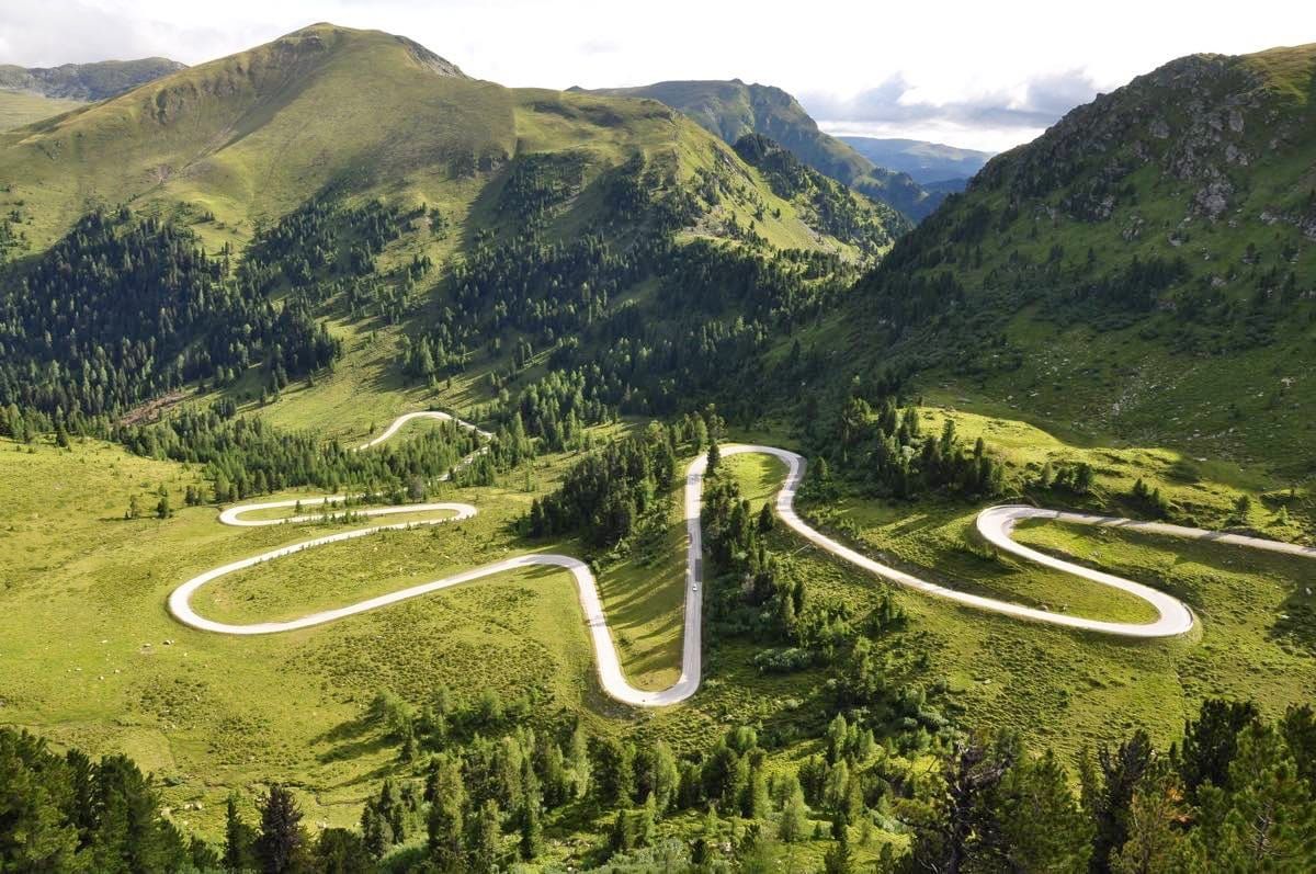
Hermagor – St. Stefan – Windische Höhe – Bad Kleinkirchheim – Ebene Reichenau – Nockalmstraße – Krems in Kärnten – Spittal/Drau – Oberdrauburg – Kötschach-Mauthen – Tröpolach – Sonnenalpe Nassfeld.
The almost 35km road leads in 52 bends through the only European national park in gentle high mountains with the largest stands of spruce and stone pine in the eastern Alps.
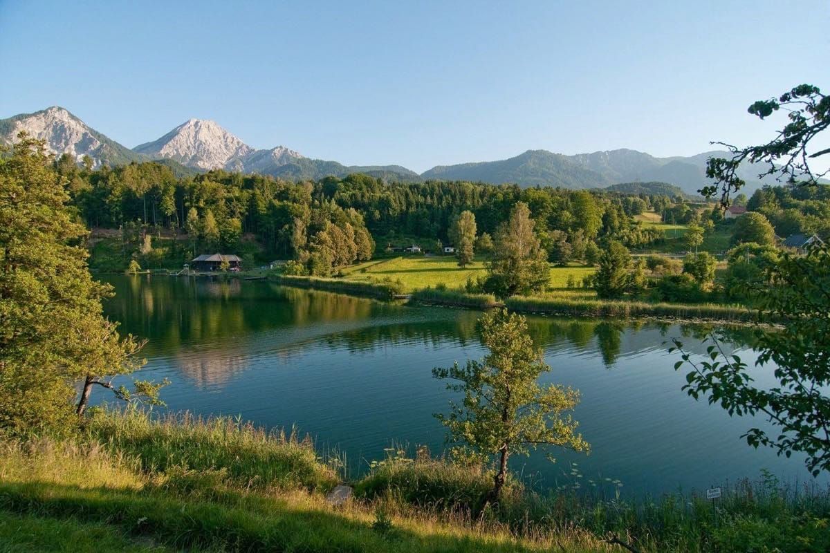
Hermagor – Nötsch - Bad Bleiberg – Villach – Villacher Alpenstraße – Ossiachersee – Krumpendorf – Maria Wörth – Velden – Faakersee – Arnoldstein – Tarvisio - Pontebba.
16,5 km long Alpine road with a wonderful view over the Karawanken mountains, as well as over the Julian and Carnic Alps. A flower paradise with the most beautiful flowers in the Southern Alps: the ALPENGARTEN VILLACHER ALPE situated at a height of 1.500 m (easily reached in a few minutes from car-park 6). Continue along the crystal clear Carinthian lakes. Visit the Pyramidenkogel lookout tower and from a height of 905 m enjoy a unique view over Carinthia and its beautiful lake landscape.
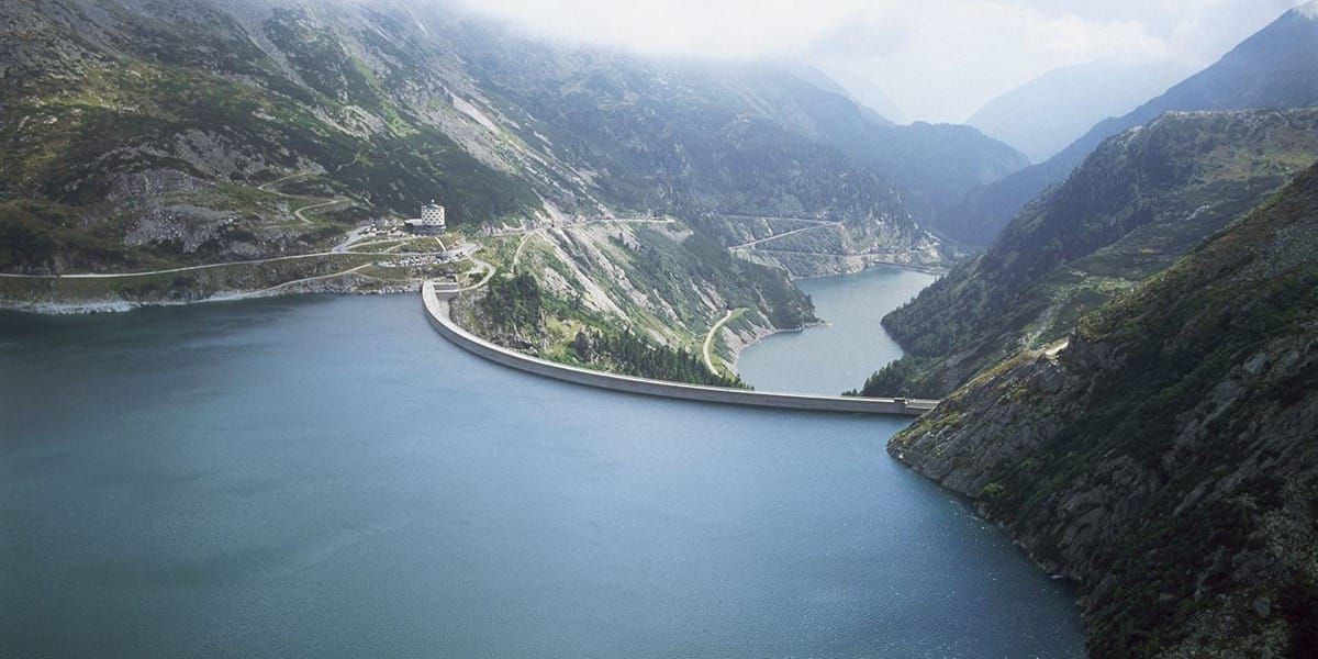
Hermagor - Kreuzberg - Greifenburg - Spittal a.d.Drau - Gmünd - Maltatal (escursione di mezza giornata).
A half day excursion through the heart of the magnificent Alpine mountain world of the Tauern Massif, leading up to the Kölnbreinsperre (dam), the 18,3 km long road passes roaring waterfalls, nine bridges and six tunnels covering a difference in altitude of 1.000 m. In Gmünd you have the opportunity to visit the Porsche museum.
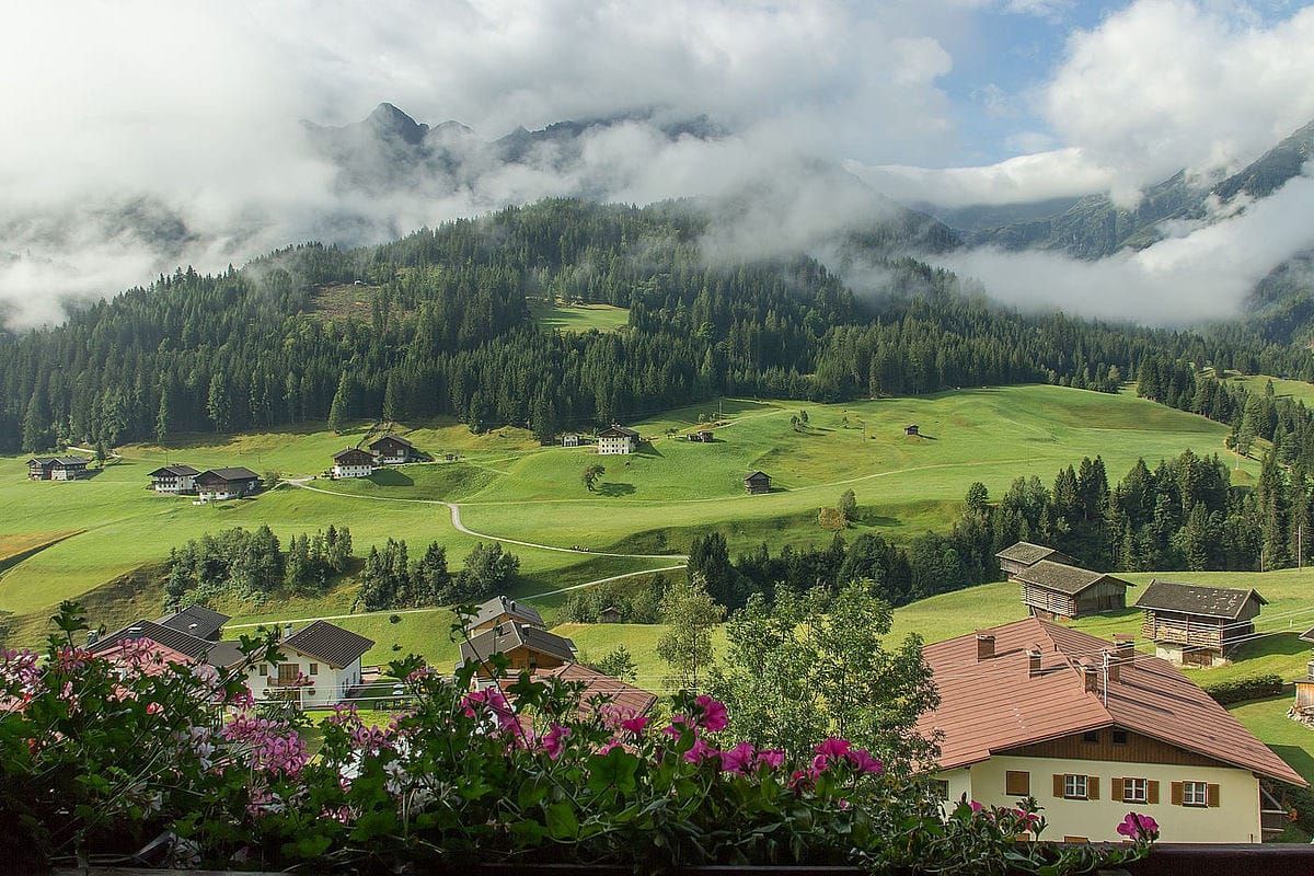
Tröpolach - Kötschach-Mauthen - Maria Luggau - Sillian - Innichen - Sexten - Kreuzbergpaß - Sappada - Forni Avoltri - Comeglians - Paluzza - Timau - Plöckenpaß - Kötschach-Mauthen - Tröpolach.
A day tour of the Lesach valley - awarded the prize for being the valley with the most "unspoiled nature" in Europe. Continuing passed the Sextener Dolomites and the Drei Zinnen. Splendid minor roads and a large number of passes are enough to excite any motorcyclist!
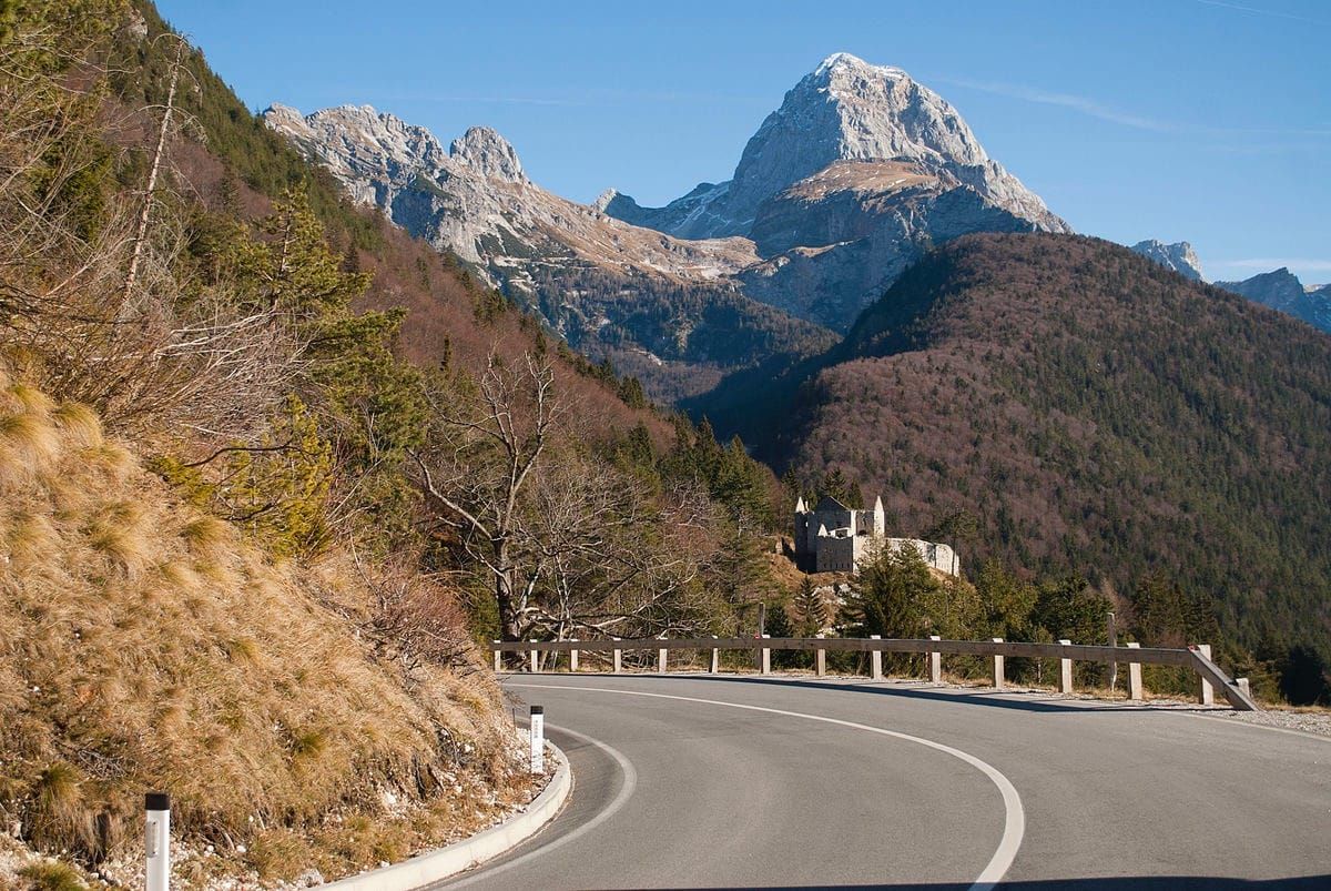
Pontebba – Chiusaforte – Passo Sella Nevea – Passo d. Predil – Bovec – Vrsic – Kranjska Gora – Wurzenpaß – Hermagor – Tröpolach – Passo Pramollo (half day excursion).
Passing Italy and Slovenia admire the summit of Mangart, the fascinating Isonzo valley and the national park of Triglav. Take the chance to explore three states and three different cultures in a few hours.
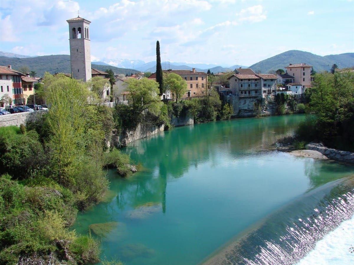
Pontebba – Carnia – Gemona del Friuli – Tarcento – Nimis – Cividale del Friuli – Cormons – Gorizia – Cividale del Friuli – Pulfero – Kobarid – Bovec – Passo d. Predil – Tarvisio – Pontebba.
Italian culinary delicacies and Friulian wine turn your trip into an unforgettable experience. It's also worth making a short detour to San Daniele where you can taste the famous ham in one of the many ham factories.
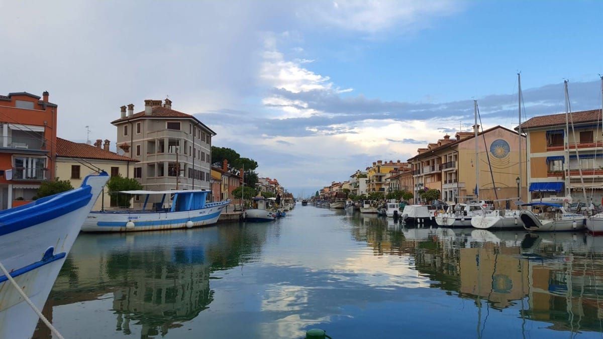
Pontebba - Moggio Udinese - Tarcento - Cividale del Friuli - Manzano - Palmanova - Cervignano del Friuli - Aquileia - Grado.
Grado presents the holidaymaker with two sides. On the one hand a modern bathing resort, and on the other hand an old fishing village with small brick houses and narrow, fascinating lanes in the old town, reminiscent of the "Calli" (lanes) of Venice. Allow yourself sufficient time to visit the old town, and enjoy the fresh fish specialities in one of the numerous fish restaurants!
Tour By Car


Tröpolach – Kötschach-Mauthen – Gailberg – Oberdrauburg – Iselsberg – Winklern - Heiligenblut – Großglockner.
See above! High Alpine road in the heart of the Hohe Tauern National Park opened in 1935. A breathtaking 20 km long journey up to 2.500 m to experience the formation of the eternal ice and Austria's highest mountain, the Grossglockner (3.798 m) as a monumental landmark. NEW: Stop off on your return journey in Heiligenblut and visit the town centre or travel up the Schareck by chair-lift
Opened from the beginning of May till the beginning of November.

Hermagor - Nötsch - Bad Bleiberg - Villach - Villacher Alpenstraße - Ossiachersee - Krumpendorf - Maria Wörth - Velden - Faakersee - Arnoldstein - Tarvisio - Pontebba.
The 16.5 km long mountain road offers an incredible view of Carinthia especially from parking areas and vantage points. You will be fascinated by the wonderful world of lakes around Villach while resting highest offer beautiful views of the southern mountain chains.

Hermagor - Kreuzberg - Greifenburg - Spittal adDrau - Gmünd - Maltatal (half day).
Through the beautiful mountains of the Tauern driving along the road of 18.3 km going 9 bridges, 6 tunnels to reach the dam of Staumauer Kölnbrein. A Gmünd will have the opportunity to visit the Porsche museum.

Tröpolach - Kötschach-Mauthen - Maria Luggau.
A trip to the pilgrimage church in Maria Luggau (the only basilica in Carinthia with a Servite monastery) in the Lesach valley - awarded the prize for being the most "unspoiled valley" in Europe. In the afternoon you have the opportunity to visit the AQUARENA in Körtschach-Mauthen (water and adventure oasis) or alternatively to visit the anti-war museum in the "Rathaus" (museum 1915 -1918 "from the Ortler mountain to the Adriatic Sea", awarded the Austrian Museum Prize). The history of the world-war illustrated by the fate of simple soldiers, as well as "paths of peace" from Col di Lana to the Plöcken pass.

Tröpolach - Hermagor - Weißbriach - Kreuzberg - Weissensee
Lake Weissensee, (drinking water quality) was awarded the "European Prize for Environment and Tourism," is situated like a fjord in the heart of the mountains. Here you have the opportunity to make a boat trip (shipping line) on MS Weissensee or to travel up to the the Nagler Alpine pasture on a chair lift for 4 persons.
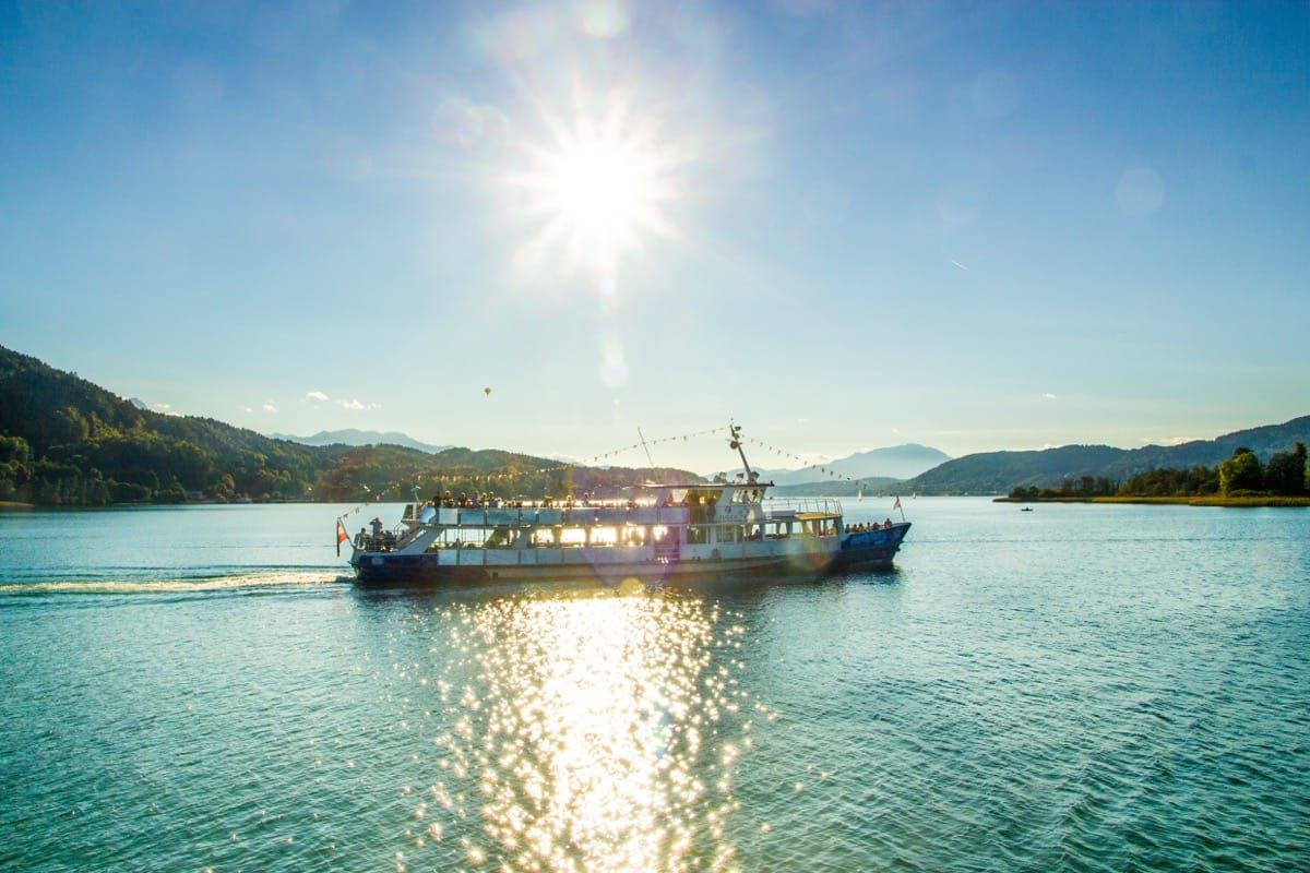
Tröpolach - Hermagor - Villach - Velden - Klagenfurt - Tarvisio - Pontebba - Passo Pramollo
An excursion to lake Wörthersee well known through films and television ("Ein Schloss am Wörthersee") The day begins in Velden with a boat trip (shipping line) to the peninsular Maria Wörth with its pilgrimage church. At lunch time you travel to Pyramidenkogel (Carinthia's best lookout tower at a height of 905 m offering a unique view over Carinthia and its most beautiful lake landscapes). In the afternoon: sightseeing in Klagenfurt and an opportunity to do some shopping.

Pontebba - Moggio Udinese - Tarcento - Cividale del Friuli - Manzano - Palmanova - Cervignano del Friuli - Aquileia - Grado
Grado presents itself to visitors in two faces: one is a modern seaside city and the other a small fishing village with brick buildings and charming streets. Spend a little 'time to walk around downtown and take the opportunity to stop at one of the many local fish.


